Aerial Photography and Videography
We are fully licensed by the Federal Aviation Administration (FAA) under the Part 107 regulation, authorizing us to operate drones for commercial purposes. This certification ensures we adhere to all legal, regulatory, and safety standards, giving you confidence and peace of mind when working with us. As a licensed and insured provider, we prioritize professionalism and safety in every project.
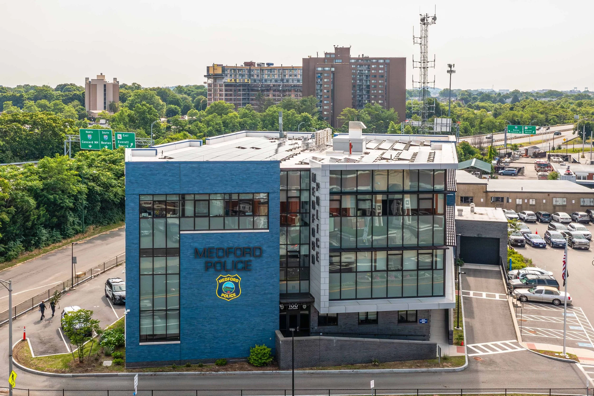
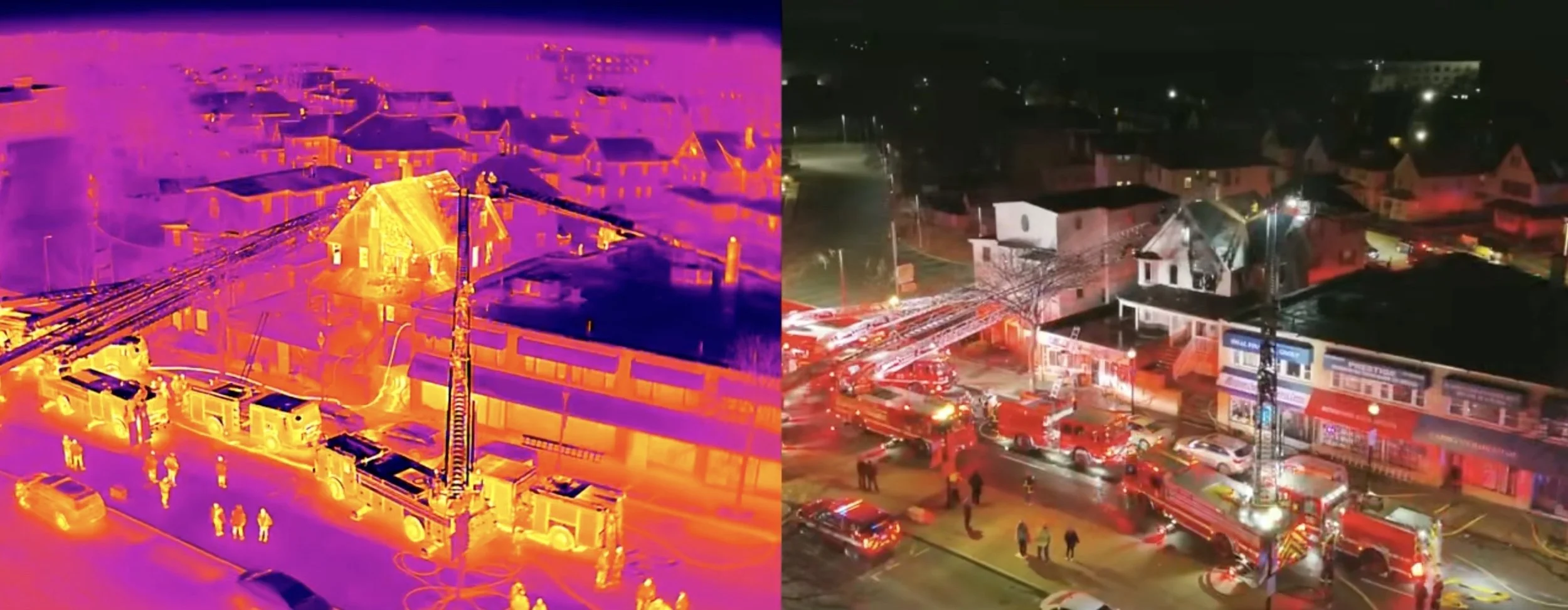
Our high-resolution camera drones are designed to capture stunning aerial imagery, offering a unique perspective for real estate, architectural structures, and breathtaking landscapes. In addition to traditional aerial photography, we utilize advanced thermal imaging technology to expand our services.
By integrating state-of-the-art technology with a commitment to excellence, we deliver comprehensive aerial solutions tailored to your needs. Whether you're looking to elevate your real estate marketing or gain critical data for your project, we're here to help you achieve remarkable results.
Aerial Photo/Video
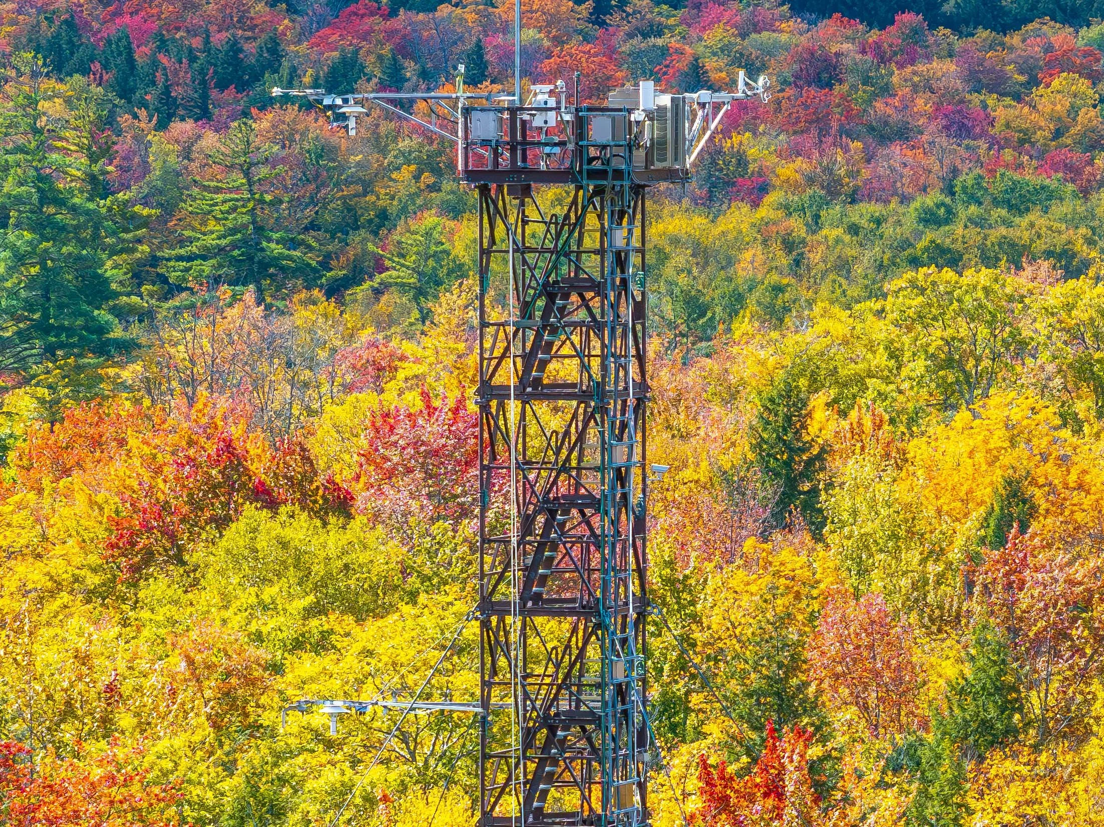
Aerial photography services provide unique views, showcasing landscapes and cityscapes that traditional photography can't match. Using advanced drone technology, we capture breathtaking images of New England, from busy Boston streets to the tranquil Cape Ann coastlines. Ideal for real estate, commercial projects, or personal keepsakes, our high-resolution images enhance marketing materials and serve as remarkable art pieces. Each photo is crafted for clarity and color accuracy, presenting properties or landscapes beautifully.
Elevate your project with our aerial videography, offering stunning perspectives and storytelling opportunities. Our expertise in capturing landscapes, cityscapes, and events from above delivers high-quality, dynamic footage. Perfect for promotional campaigns, event documentation, or real estate listings, our services capture your vision's essence. Expect professional results with a focus on your creative goals. Let us help you achieve a stunning visual impact.
Aerial Structure Analysis
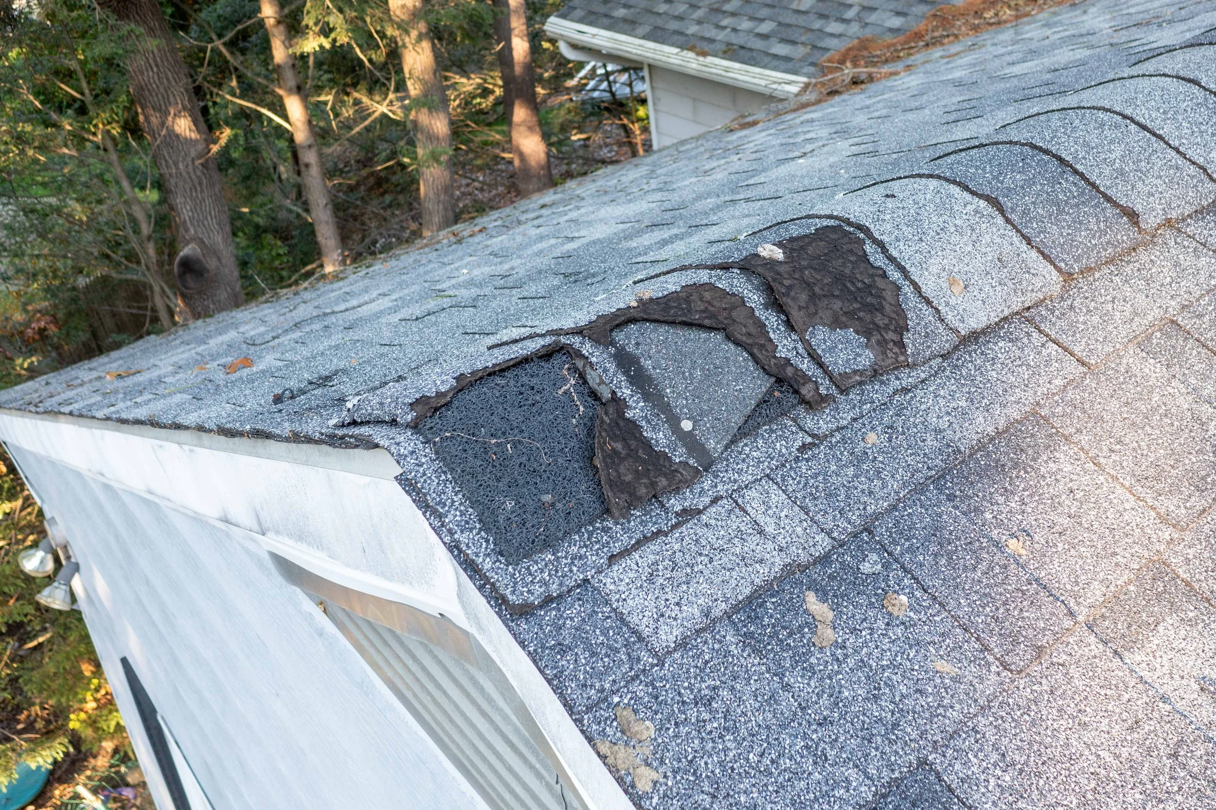
Aerial structure analysis services utilize advanced drone technology to meticulously evaluate and monitor critical infrastructure. We capture stunning high-resolution images that are essential for timely and accurate assessments of diverse structures, including buildings, bridges, and much more. Our team of experts conducts thorough analyses of these images to identify potential issues, ensure adherence to safety compliance standards, and enhance the overall longevity of assets. Aerial views allow for efficient inspections of hard-to-reach areas, significantly reducing costs that are typically associated with scaffolding or extensive ground inspections. This specialized service plays a crucial role in various sectors, including construction, maintenance, and environmental assessments. Our unwavering commitment to quality results in comprehensive reports that facilitate informed decision-making for our clients.
Aerial Thermal Imagery
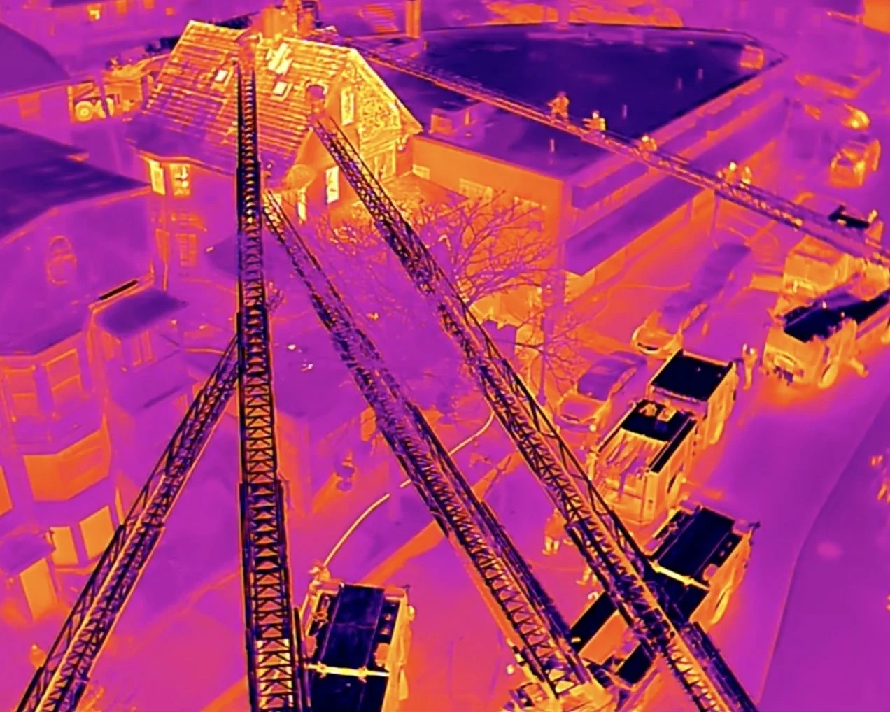
Elevate your project with cutting-edge thermal imaging services. Whether for real estate, construction, environmental assessments, or energy audits, our drone technology captures critical data that traditional methods can’t.
Equipped with state-of-the-art thermal drones, we detect heat signatures, pinpoint energy inefficiencies, identify water leaks, and reveal structural issues. From real estate to industrial inspections, our services provide actionable insights tailored to your needs.
With precision, speed, and cost-effectiveness, we deliver the results you need to make informed decisions. Contact us today to see how thermal imaging can transform your perspective!

